
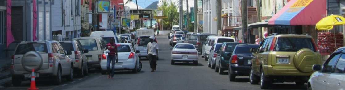
Cycling to St John's
Level : Easy road
Duration: 1 to 1 1/2 hr each way
Distance: 15 km each way
Duration: 1 to 1 1/2 hr each way
Distance: 15 km each way
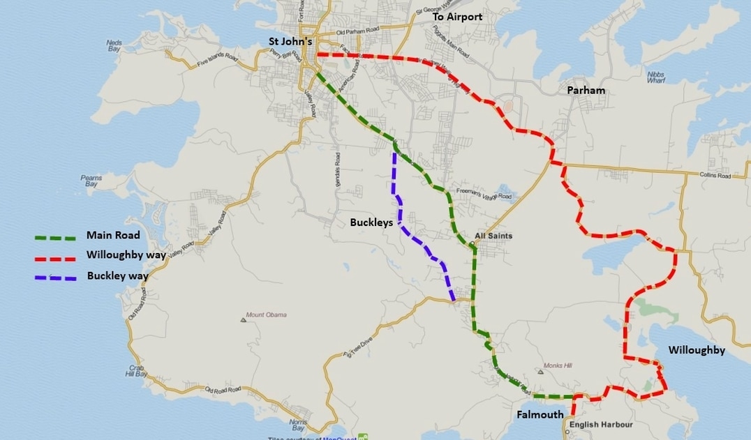
The main road to St John's, going through Liberta and All Saints is pleasant enough, but traffic can be heavy and makes the ride a bit of a misery. There are two alternative ways to town, slightly longer but worth the extra effort.
The first is to take the Willoughby, Belsheda and Potswork dam road towards the cricket ground. This is about 5 kms longer, but the traffic is minimal untll you reach the cricket ground.
The other way to town is to take the main road to St John's but turn onto Fig Tree drive, and take a right at the centre of Swetes village, by the school next to the church. This small but well surfaced road will take you along a ridge through Buckley’s, with great views of the northern side of the Shackerley range and Mc Nish mountain above the watershed
(Body Pond) valley. You will join the main St John’s/ All Saints road for the last 5 ks or so into town.
Paths to Rome
